


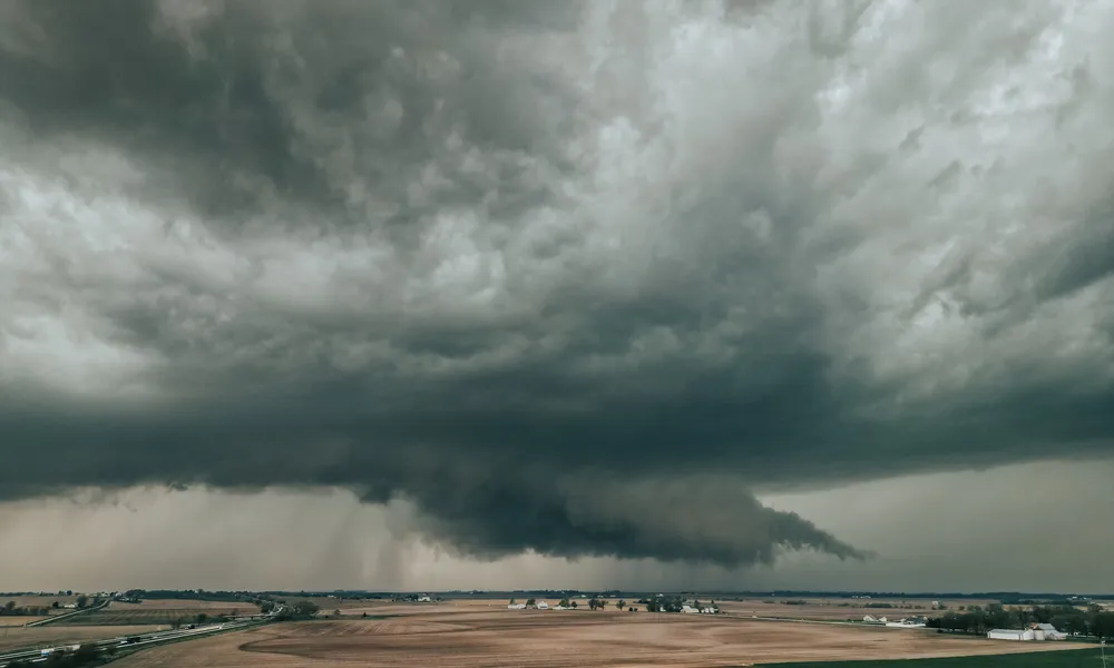

A new low-pressure system will bring rain, isolated thunderstorms and a noticeable drop in temperature to Cyprus from Wednesday, with Thursday expected to be the most difficult day. Temperatures could fall by 5 to 6 degrees compared with recent days, creating a wintry picture across the island, Department of Meteorology officer Andreas Chrysanthoutold Politis.
What is causing the change
According to Mr Chrysanthou, the disturbance is forming north of Greece, starting in the area of Romania and moving towards the Balkans and Greece before affecting Cyprus from Wednesday.
Rain at intervals and isolated thunderstorms are expected, and on Thursday the phenomena could be particularly intense or prolonged, he said.
Weather warnings expected
Mr Chrysanthou said warnings are expected for the coming change, stressing that the situation will be assessed continuously over the next few days.
Temperatures to fall below seasonal averages
Temperatures will drop gradually but noticeably, and by Friday are expected to be well below the seasonal average. Compared with recent days, the fall could reach 5 to 6 degrees, with lower temperatures also recorded at night.
The rain is also expected to clear dust from the atmosphere from Wednesday, he added.
Rain from today
Over the next 24 hours, Cyprus is being weakly affected by a low-pressure system over the Aegean. Increased cloud, mainly medium and high, is expected at times today, with a chance of light rain and local thunder.
From tonight and into Tuesday morning, rain or thunderstorms are expected in the west and north. From Tuesday midday, the phenomena could extend mainly to the mountains, northern areas, inland and the east, remaining isolated.
Brief lull on Friday
A general easing is expected on Friday, with cloud at times, although the return of rain over the weekend cannot be ruled out, Mr Chrysanthou said.
Department of Meteorology forecast
A low-pressure system centred over the Aegean is weakly affecting the region, with a new low expected from Wednesday. Thin dust will be suspended in the atmosphere at times.
This afternoon (Monday): Cloudy, mainly with medium and high cloud, with isolated rain, in some cases possibly accompanied by thunder. Winds mainly southwesterly to northwesterly, light to moderate, 3 to 4 Beaufort. Sea generally calm to slightly rough.
Tonight: Partly cloudy and at times mainly cloudy with medium and high cloud, with local light rain possible. Low cloud will later increase, and mist or fog may form locally, mainly inland and in the east. Winds gradually becoming katabatic, light, 3 Beaufort. Sea calm to slightly rough. Temperatures:
- inland and coastal areas: around 17°C
- higher mountains: around 10°C
Tuesday: Partly cloudy and at times mainly cloudy. Isolated rain is initially expected in the west and north, and an isolated thunderstorm cannot be ruled out. Clouds will gradually develop by midday, bringing isolated rain and thunderstorms, mainly in the north, the mountains and possibly inland and in the east. Winds initially variable, light, 3 Beaufort, gradually becoming mainly southwesterly to northwesterly, light to moderate, 3 to 4 Beaufort. Sea generally calm to slightly rough, becoming slightly rough in the west later. Temperatures:
- inland, south and east: around 27°C
- west and north: around 24°C
- higher mountains: around 17°C
Wednesday and Thursday: Mainly cloudy, with local rain and isolated thunderstorms at intervals. On Thursday, the phenomena may locally be intense or prolonged.
Friday: Partly cloudy, with isolated rain possible in the mountains after midday.
Temperatures will fall gradually and noticeably until Friday, to below the seasonal climatological average.