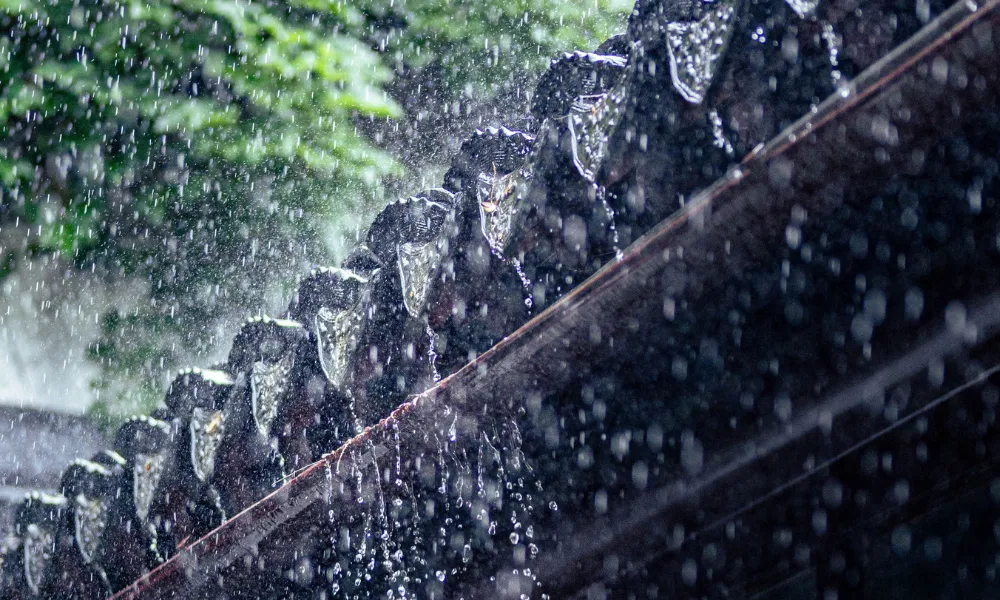


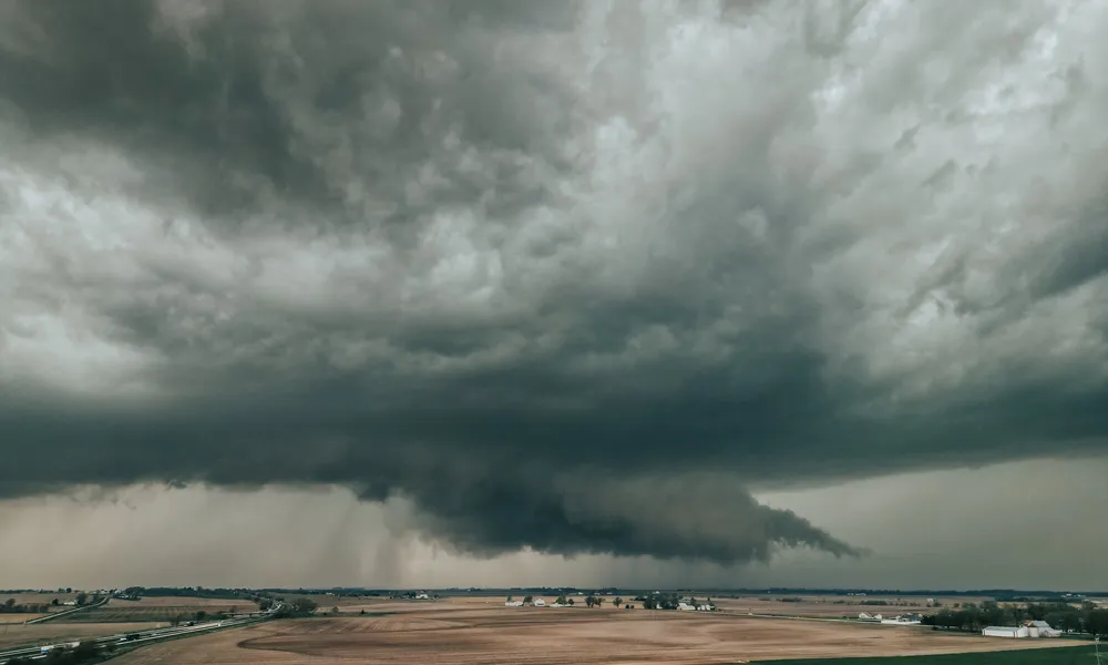

Weak low pressure is affecting the region, bringing unsettled weather conditions over the coming days.
Thursday
The weather will be mostly clear initially, with periods of increased cloud cover that may produce isolated showers, mainly in northern areas.
Later in the day, conditions will become partly cloudy to locally overcast, with isolated showers and a chance of isolated thunderstorms, particularly over mountainous, northern and eastern areas.
Winds will blow mainly from the southwest to northwest at 3-4 Beaufort, increasing temporarily to 4-5 Beaufort along windward coasts. The sea will be slightly rough.
Temperatures will reach:
- Around 24C inland
- Around 24C on the coasts
- Around 14C in the higher mountains
Thursday night
Conditions will remain partly cloudy to mainly cloudy in places, with isolated showers expected.
Winds will gradually become downslope and light at around 3 Beaufort, while the sea will be calm to slightly rough.
Temperatures will fall to:
- Around 13C inland
- Around 16C on the coast
- Around 7C in the higher mountains
Friday
The weather is expected to be mostly cloudy, with local showers and isolated thunderstorms, especially during the afternoon.
Hail is possible in thunderstorms.
Saturday
Periods of increased cloud cover are expected to bring isolated showers or thunderstorms, initially along coastal areas and later mainly in mountainous and southern parts of the island.
Sunday
Most areas will experience mainly fine weather with temporary periods of increased cloud.
An isolated shower cannot be ruled out in mountainous areas during the afternoon.
Temperatures will continue to fall gradually through Sunday and are expected to drop below the seasonal average.