It's a turnout for the Eastern Mediterranean weather books once again, as the outlook for the region takes yet another dramatic tumble, with storms, cold snaps and yellow warnings rapidly giving way tomorrow (last of the storms today) to higher temperatures and dust next week, as the low pressure system wanes.
This time the harmful particles won't have time to settle, as the atmosphere is expected, as Met Office forecasters say, to gradually clear by Tuesday.
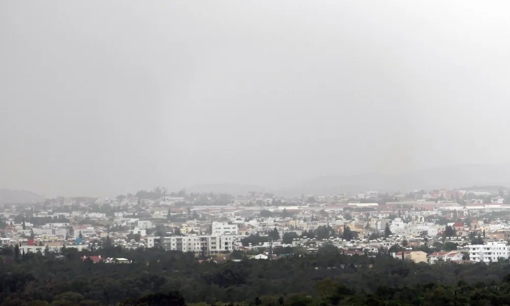
Here's what the setting looks like today
Isolated showers and storms might be on the cards as the system brings the last of its rainy period, initially in the western area of the island and later moving to the southeastern part of the country. Snowfalls over the highest reaches of Troodos are also possible in the afternoon. Winds will be moderate to strong southwesterly to northwesterly, force four to five and in windward regions, very strong five to six, over moderate to rough seas.
Temperatures will rise to 20 degrees Celsius inland, the eastern and southeastern coastal regions, 18 in the west, 19 in the rest of the coastal areas and 9 on the mountains.
Mostly clear skies tonight but partly cloudy at intervals and low cloud at dawn tomorrow mainly inland and in the east. Winds will subside and seas will be slight, as temperatures drop to seven degrees Celsius inland, 9 in the south and east, 10 in the rest of the coastal areas and four on the mountains.
The forecast on Sunday and early next week
Sunny tomorrow, as temperatures rise, while on Monday, overcast skies might bring light showers in the evening. The same pattern is forecast on Tuesday, with the possibility of isolated storms.
Temperatures will rise up to six degrees over the seasonal average, in the low 20s, dropping slightly as the week progresses.
The depth of snow on Mount Olympus this morning was 8 centimetres.