Surveillance along the Green Line has been significantly upgraded over the past three years, with modern technological systems now in place to support round-the-clock monitoring, sources with knowledge of the matter told CNA.
The monitoring is carried out by the Ministry of Defence and the Police, through the National Guard General Staff, while there is close cooperation with designated liaison officers at UNFICYP when required.
According to the same sources, the National Guard has access to a range of audiovisual systems, including cameras and other equipment installed at specific points. Surveillance is continuous, and if suspicious movement is detected the Police are informed.
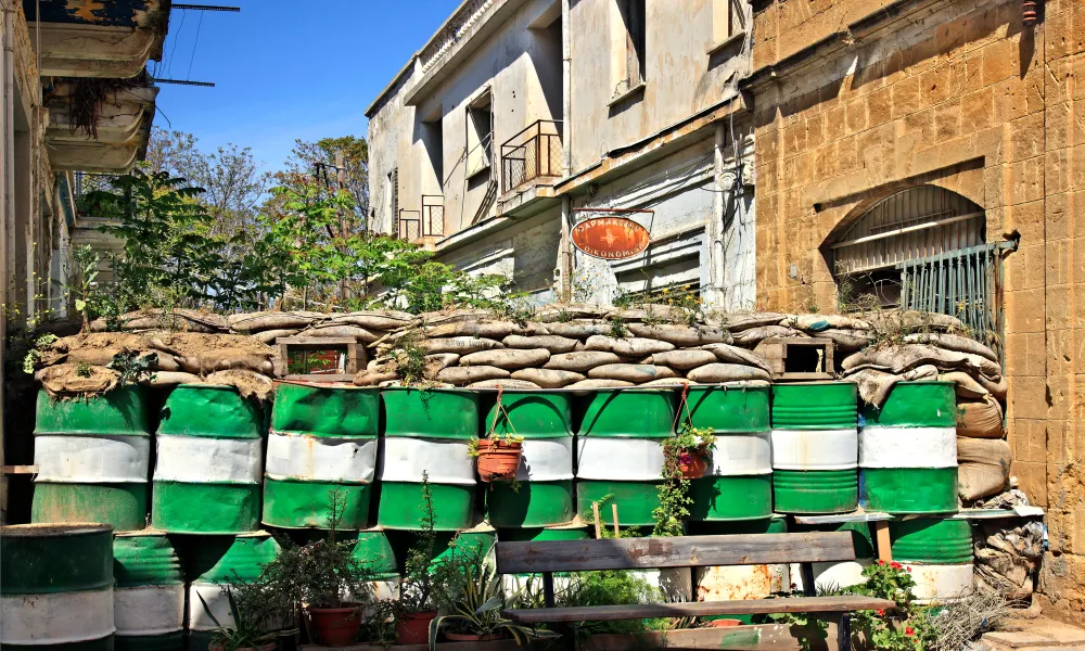
The barbed wire that had been installed in the past has now been almost entirely removed, except in limited areas where the terrain does not allow it, such as depressions or other difficult points.
The sources said the National Guard operates under specific instructions and maintains close cooperation with UNFICYP. “When anything is detected, the liaison officers communicate with each other on the next steps and the way to respond,” they said.
They added that Pyla has a special status, as it is monitored by the United Nations and does not have an entry or exit checkpoint. Other areas, including parts around Avlona, may also be difficult to monitor fully due to terrain.
“We have upgraded our capabilities and we are trying to ensure that monitoring is effective and immediate. Many things are not publicised for obvious reasons,” the sources said.
The role of UNFICYP in the buffer zone
The ceasefire line, commonly known as the Green Line, extends for about 180 kilometres across Cyprus. In parts of old Nicosia it is only a few metres wide, while in other areas it stretches for several kilometres.
The Green Line was first drawn on 30 December 1963. It took its name from the green pencil used by General Peter Young, then commander of British forces in Cyprus, to mark the line on a map.
At the time, it did not extend across the island and existed mainly in Nicosia, later covering areas with Turkish Cypriot enclaves. Since March 1964, when United Nations troops arrived in Cyprus, responsibility for monitoring the area has rested with the UN. The line was expanded significantly after Turkey’s invasion of Cyprus in 1974.
According to UNFICYP information updated in November and December 2025, the eastern section of the line is interrupted by the British Sovereign Base Area of Dhekelia, where UNFICYP does not operate. Another area outside UN monitoring is Varosha, which is under the control of the Turkish occupation army.
Many parts of the buffer zone are cultivated or inhabited. Several villages and special areas lie within the zone, where more than 10,000 people live and/or work. Civilians may enter some of these areas freely, while movement or activity in other parts requires special permission from UNFICYP.
Pyla, in the eastern part of the buffer zone, is the only village in Cyprus inhabited by both Greek Cypriots and Turkish Cypriots.
UN patrols and sectors
UNFICYP monitors the buffer zone through vehicle, foot and bicycle patrols, as well as helicopter patrols. It also has a dedicated unit ready to respond to emergencies inside the zone. Around 1,000 incidents occur in the buffer zone each year.
About 802 soldiers currently serve on rotation with the peacekeeping force, most of them from countries including Argentina, the United Kingdom, Slovakia and Hungary.
The military presence is divided into Sectors 1, 2 and 4. Sector 3 ceased to exist after Canada withdrew from the peacekeeping force in 1993, with Sectors 2 and 4 taking over its area.
Following a review and reduction of troops in 2004, peacekeepers no longer permanently staff every position. Instead, they patrol the buffer zone by foot, vehicle, bicycle and helicopter.
Sector 1 covers about 90 kilometres from Kokkina on the west coast to Mammari, west of Nicosia, and has been under the responsibility of the Argentine contingent since 16 October 1993.
Sector 2 is under the responsibility of the British forces and covers more than 30 kilometres from the eastern edge of Mammari to Kaimakli, east of Nicosia.
Sector 4 has been under the responsibility of the Slovak forces since 2018. It covers 65 kilometres from the eastern edge of Kaimakli to Deryneia on the east coast. The British base near Dhekelia lies between two parts of the buffer zone, from Pyla to Strovilia, and is outside the mission’s area of responsibility.
UN Police and crossing points
The United Nations Police, or UNPOL, has been part of the peacekeeping force since 14 April 1964. It contributes to maintaining and restoring law and order in the buffer zone and works with UNFICYP’s military and civil affairs components on civilian activity, humanitarian issues and related matters.
UNPOL consists of 69 police officers from 16 countries, as well as civilian support staff. Its officers are based in the United Nations Protected Area and at eight other locations across the island, either inside or near the buffer zone. UNPOL does not have powers of arrest or detention.
Several crossing points have opened since April 2003, including Pergamos and Strovilia in the British base areas, Agios Dometios/Metehan, Ledra Palace and Ledra Street in Nicosia, Astromeritis/Zodia west of Nicosia, and Pyrgos-Limnitis/Yesilirmak in the west.
Two more crossing points opened on 12 November 2018, the first such openings in eight years: Deryneia in the east and Lefka-Apliki.
Source: CNA