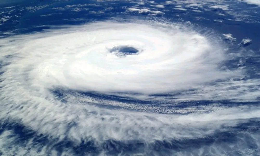

Two powerful hurricanes and a strengthening tropical storm were active in the Pacific Ocean on Wednesday, as unusually warm waters linked to El Niño continued to fuel concerns about an exceptionally intense weather season.
Hurricanes Lowell and Karina, both classified as Category 4 storms, were expected to remain well offshore from Hawaii, according to the US National Hurricane Center (NHC).
Their exact tracks, however, remain uncertain, and forecasters warned that stronger winds and heavier rainfall could still affect parts of the Hawaiian archipelago.
Hawaii is still recovering from the passage of Hurricane Lala in mid-August, which caused flooding across parts of the islands.
Third storm follows behind
Trailing Lowell and Karina is Tropical Storm Maria, located off the Mexican coast.
According to the NHC, Maria was expected to strengthen into a hurricane later on Wednesday.
Scientists say the succession of storms is being fuelled by unusually warm ocean temperatures associated with El Niño.
"El Niño creates conditions that favour these storms, which are primarily fuelled by warm waters," Michigan State University climatologist Julia Cole told AFP.
She described the sequence of three storms as:
"Certainly rare."
The last comparable event occurred in 2015, when four hurricanes formed one after another during another particularly strong El Niño year.
Historic El Niño possible
Climate researchers say the Pacific Ocean has been warming steadily for years.
"The climate system has genuinely warmed over roughly the past twenty years," said Benjamin Kirtman of the University of Miami, noting that sea-surface temperatures are already close to record levels.
According to the US National Oceanic and Atmospheric Administration (NOAA), there is a 69% probability that this year's El Niño could become the strongest on record.
The phenomenon is already contributing to extreme weather events around the world and is expected to reach its peak around November.
What is El Niño?
El Niño typically occurs every two to seven years.
It develops when easterly trade winds that normally keep warm ocean waters concentrated in the western Pacific weaken, allowing those waters to shift eastward.
When sea-surface temperatures remain above normal for extended periods, weather patterns can be altered far beyond the Pacific basin, affecting atmospheric conditions worldwide.
As a result, some regions experience hotter and drier conditions, while others become cooler and wetter.
Climate change factor
Scientists broadly agree that climate change intensifies the impacts of El Niño.
There is less consensus, however, over whether climate change is making El Niño events themselves stronger or more frequent.
Researchers say evidence pointing in that direction is beginning to emerge, though the scientific debate remains ongoing.