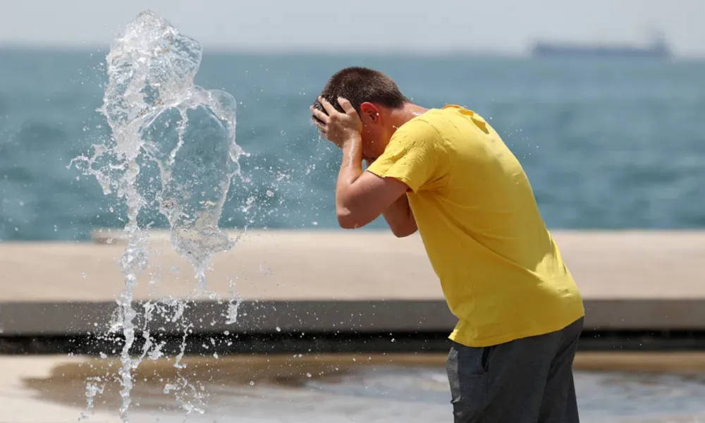

Cyprus remains in the grip of a heatwave, with a yellow warning for extreme maximum temperatures due to come into effect at midday on Monday.
The warning will be in force from 1.30pm until 4pm.
Weather forecast
According to the Department of Meteorology, a seasonal low-pressure system is affecting the region.
Monday's weather will be mainly clear, although periods of increased cloud cover are expected, particularly over mountainous areas after midday.
Winds will be mainly southwesterly to northwesterly, initially light to moderate at 3 to 4 Beaufort, strengthening gradually to 4 to 5 Beaufort along coastal areas by the afternoon.
The sea will be generally calm to slight.
Temperatures are expected to rise to:
- Around 40C inland
- Around 32C on the west and southwest coasts
- Around 36C on the remaining coastal areas
- Around 30C in the higher mountains
Tonight, conditions will remain mostly clear, although temporary low cloud is expected mainly in coastal areas.
Later tonight and during the early morning hours, patches of mist or fog may form locally, particularly in southern and eastern areas.
Winds will gradually become downslope and light at 3 Beaufort, while the sea will remain calm to slight.
Temperatures will fall to:
- Around 24C inland and along the coasts
- Around 21C in the higher mountains
Tuesday, Wednesday and Thursday are expected to remain mostly clear, with occasional periods of increased cloud cover.
Temperatures will continue to rise gradually through Wednesday before stabilising on Thursday, remaining above seasonal averages throughout the period.