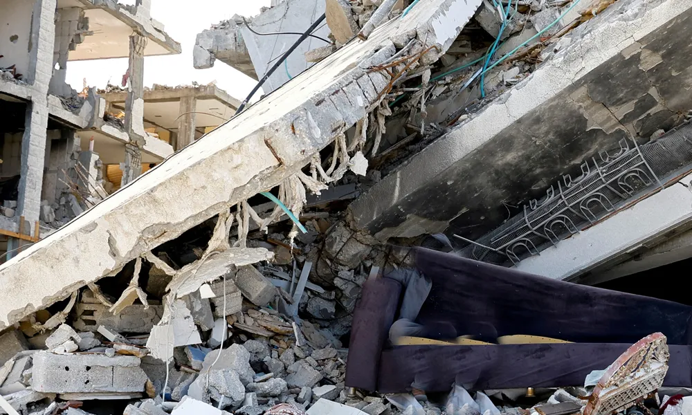

Cyprus has been in the process of revising its seismic zones for a year, Sylvana Peleidou, Senior Geological Officer at the Geological Survey Department, told the Cyprus News Agency (CNA). She was speaking after a magnitude 7.4 earthquake struck Colombia, following two successive earthquakes of magnitude 7.2 and 7.5 in Venezuela in June.
Cyprus's seismic zone review
Peleidou said the review, under way for a year in cooperation with experts from Cyprus and abroad, reflects improved knowledge of the region's fault lines and the availability of detailed, accurate seismicity records. She added that microzonation studies in Cyprus's main urban centres have now been completed, providing detailed data on how local ground conditions behave during an earthquake.
The seismic zones currently in force were officially issued in 2004, based on data available before 1994. Structural engineers use the seismic zone map, part of the relevant Eurocode, as the primary tool for earthquake-resistant building design. Peleidou noted that Eurocode 8, which sets European standards for seismic design, is itself currently being renewed, and that each country adapts the Eurocode to its own geological conditions through a national annex. The revised Cyprus seismic zones will be incorporated into that annex once complete.
"In Cyprus, we now build to strict specifications, and with updated scientific data we are further strengthening the resilience of our structures against seismic risk," Peleidou said.
As geoscientists, she said, the department contributes to earthquake protection through continuous monitoring and assessment of seismicity in Cyprus, and through the study and mapping of faults and geological features, so that the country's protective measures rest on realistic models of seismic risk via a reliable seismic zone map.
Early warning systems and Cyprus
Peleidou said some countries have begun operating earthquake early warning systems, which use seismic sensors to rapidly calculate the parameters of a quake already under way and send electronic alerts to distant areas before strong shaking arrives, exploiting the fact that electronic signals travel at the speed of light while seismic waves travel considerably slower. Such systems do not predict earthquakes, she said, but can offer a few seconds of valuable warning time for safety measures such as braking trains, opening lift doors at the nearest floor, opening emergency exits, cutting gas and electricity supplies, and triggering safeguards in industrial production lines, data centres and surgical systems.
Applying a classic early warning system successfully in Cyprus would be difficult, Peleidou said, because the positioning of ground-motion sensors, the geographic distribution of the island's seismicity, the size of Cyprus, and the propagation speed of seismic waves through the Earth's interior make timely warning impossible using such systems.
However, Peleidou pointed to Google's Android Earthquake Alerts, which uses the built-in motion sensors of more than two billion Android phones worldwide as a dense, live, global digital seismological network. The system rapidly estimates an earthquake's parameters and sends alerts to phones in areas expecting strong shaking. It can offer a few seconds of warning, or none at all, given the time needed for both calculation and transmission, she said. The system has operated in Cyprus in recent years and was partly activated during the two magnitude 5.0-plus earthquakes near Paphosin 2025, in some cases providing valuable seconds of warning.
Peleidou concluded that earthquakes still cannot be predicted, but stressed this does not leave the island defenceless. "Scientific knowledge, proper earthquake-resistant construction and new technologies can significantly reduce the impact of a future major earthquake," she said, adding that this is perhaps the most important message left by the tragedies in Venezuela and Colombia.
The Venezuela and Colombia earthquakes explained
Venezuela and Colombia sit at one of the world's most complex tectonic crossroads, where three major plates, the South American plate, the Caribbean plate and the Nazca plate, interact to produce complex fault zones, Peleidou explained. She said the two seismogenic countries are caught in a "tectonic vice," which is also responsible for the existence of the Andes.

The double Venezuela earthquake, two successive quakes of magnitude Mw7.2 and Mw7.5 on 24 June 2026, occurred at a boundary where two tectonic plates slide horizontally past one another. The Colombia earthquake, magnitude Mw7.4 on 10 August 2026, occurred in a zone where two plates collide and one subducts beneath the other.
"So these are two destructive seismic events of similar magnitude but different origin, not directly related, but occurring in the same broader tectonic neighbourhood," Peleidou said.
Because of their different tectonic origins, the Venezuela earthquake was shallow while the Colombia earthquake had a large focal depth of 100 to 110km. As reflected in ground acceleration maps, this meant the Venezuela earthquake had very high local intensity, while the Colombia earthquake had lower local intensity but affected a larger surface area with strong ground shaking. The Colombia earthquake's greater focal depth fortunately moderated its destructiveness compared with the Venezuela earthquake, which, being both shallow and a double event, caused especially severe and prolonged ground shaking.
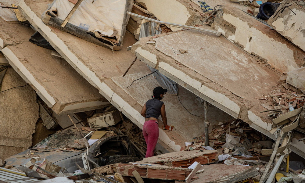
Beyond these differences, Peleidou noted that shared adverse geological, ground and construction factors contributed to tragic consequences in both cases. Loose and infilled soils acted as a "seismic megaphone," amplifying ground shaking and extending its duration. These soil conditions also triggered chain reactions such as landslides and soil liquefaction. In addition, buildings in the affected areas were not constructed with adequate earthquake-resistant provisions; images published from the disaster zones show structures built from brick, stone or mudbrick, without steel reinforcement, some without visible foundations.
Why no tsunami?
A tsunami early warning system has operated in the Caribbean since it was established following the destructive 2004 Indian Ocean tsunami. Yet neither of these powerful, destructive earthquakes triggered a tsunami.
Peleidou said this cannot simply be attributed to the epicentres being located on land. Earthquakes of this magnitude are associated with major faults that can extend offshore and, under certain conditions, generate tsunamis. In these specific cases, however, neither earthquake caused significant vertical displacement of the seabed needed to trigger the phenomenon: the Venezuela earthquake due to the horizontal motion of its fault, and the Colombia earthquake due to its great focal depth.
Source: CNA